Photogrammetry
Photogrammetry is best used where there is a need to capture the visual details of a site, as its key benefit is that it can be used to verify what is being seen. Photogrammetry’s visual capability provides a number of potential uses.
From more traditional site survey and management applications, to its emerging use as a rapid deployment tool in disaster management and public safety – the use of photogrammetry is still evolving today.
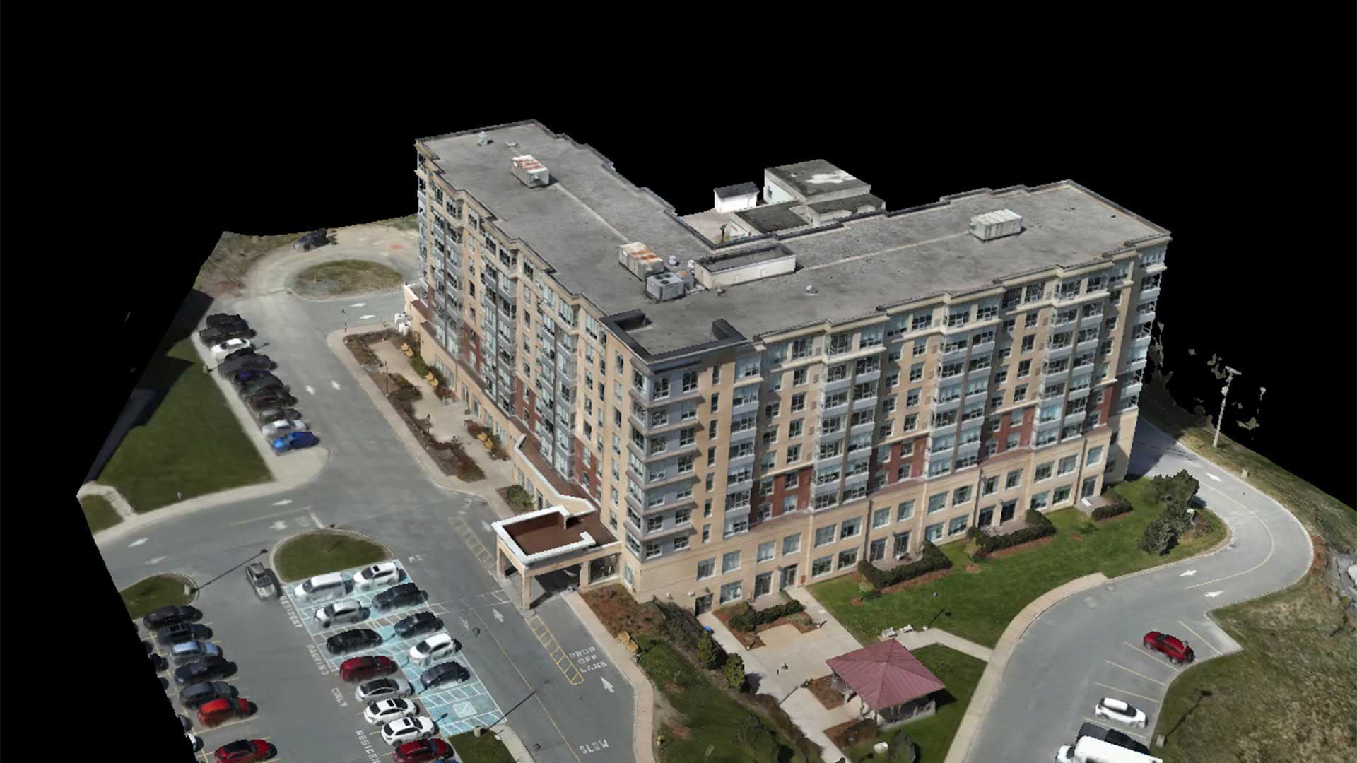
Photogrammetry refers to the process of using overlapping photographs to create a map, drawing, or 3D model of a real-world object or location. It’s perhaps the oldest form of visual surveying, with initial uses appearing alongside the advent of photography in the mid 19th century. Photogrammetry has evolved in tandem with technologies to both capture and analyze data, leading to its continued use and relevance as a method for developing 2D and 3D models.
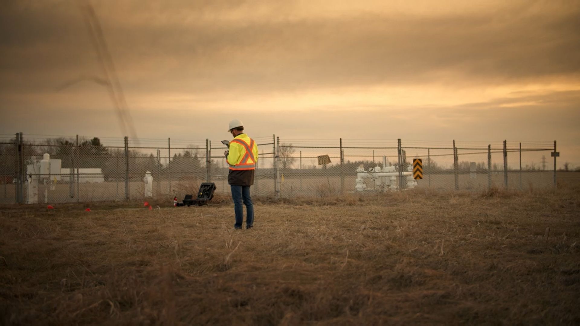
Photogrammetry does have its drawbacks. While traditional aerial photogrammetry provides useful data, its usage is limited by the high cost of implementation. Conversely, terrestrial-based Photogrammetry relies on an operators photography skills and can place field staff in potentially harsh field conditions or unpredictable weather.
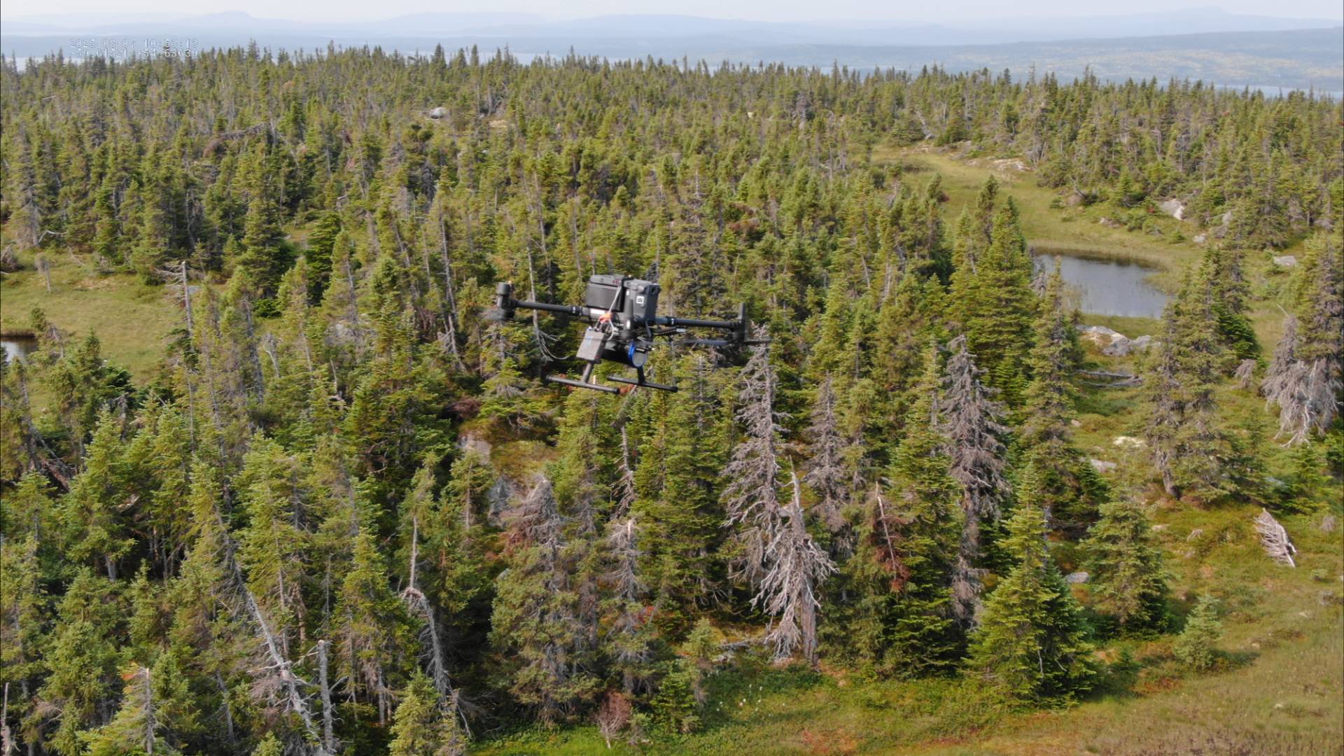
That’s where we come in. Our drone-based photogrammetry solution has the ability to capture incredible detail and use grid-photo capability to take multiple photos at a specified zoom level from a single vantage point. To put it simply, our drones excel at capturing data from a large area quickly, accurately, and affordably. This provides the same benefits as traditional methods, but with a reduction in risk and cost.


