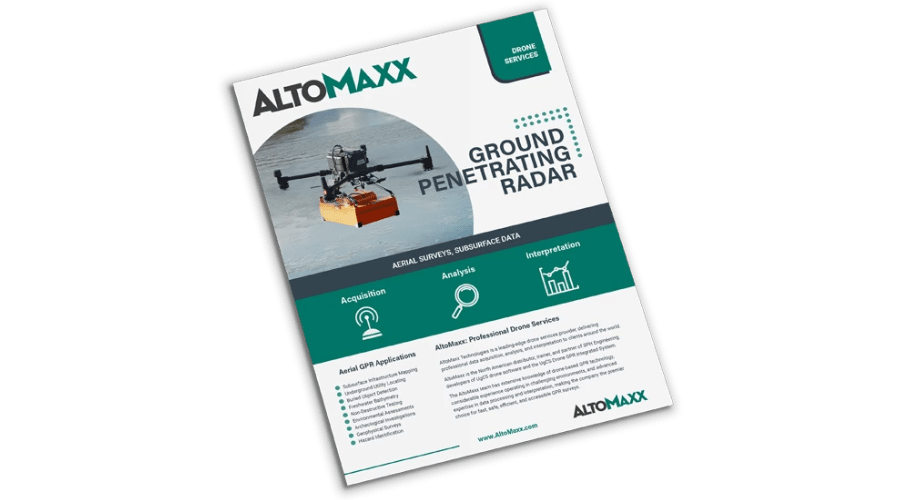
Ground Penetrating Radar
Ground Penetrating Radar (GPR) is a non-intrusive subsurface investigation method used to map underground features, detect soil disturbances, and locate buried objects and structures.
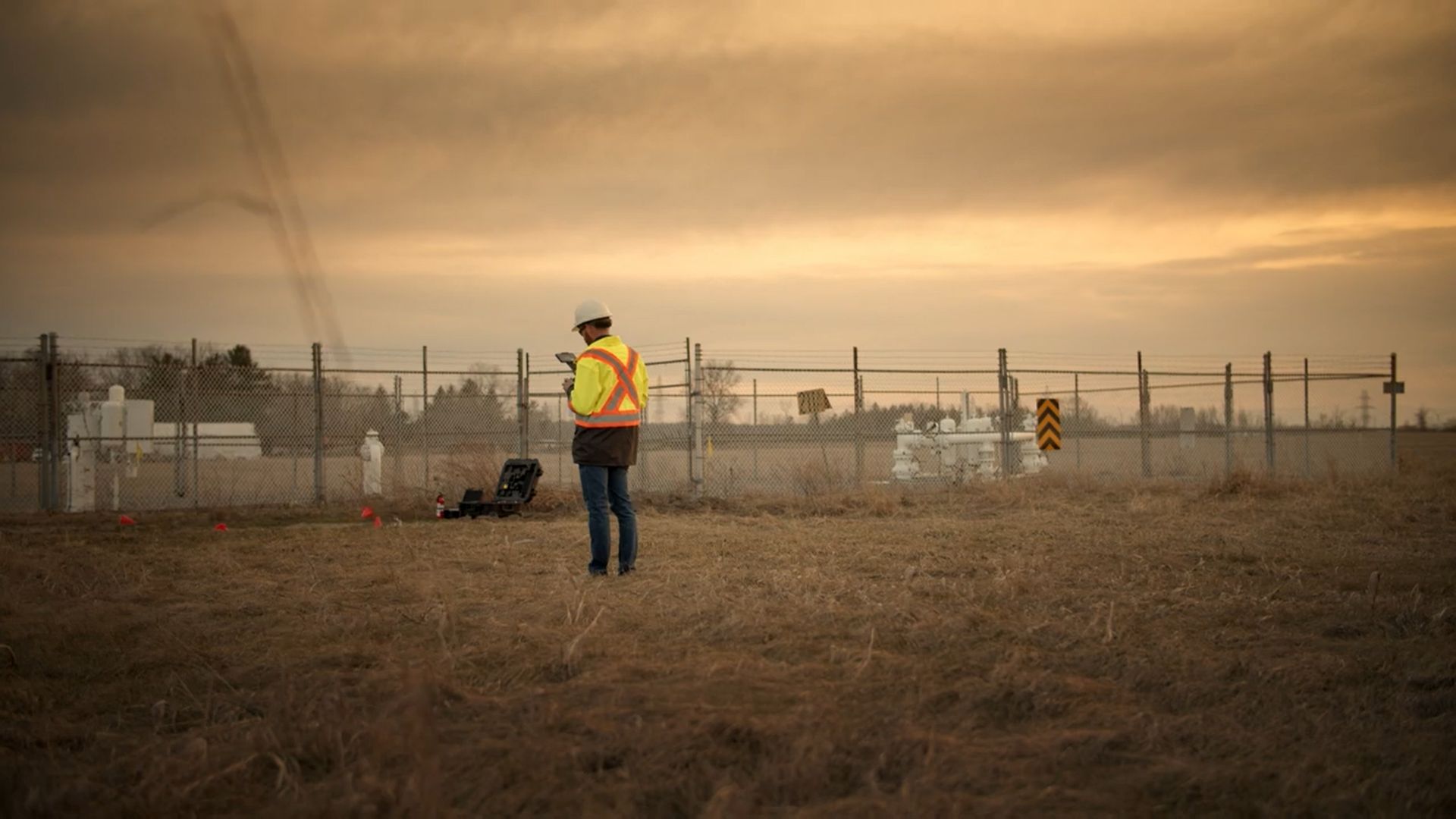
Conducting GPR surveys can be a costly, difficult, and dangerous undertaking. Harsh field conditions, unpredictable weather, and remote locations all contribute significant risks to field staff when collecting GPR data.
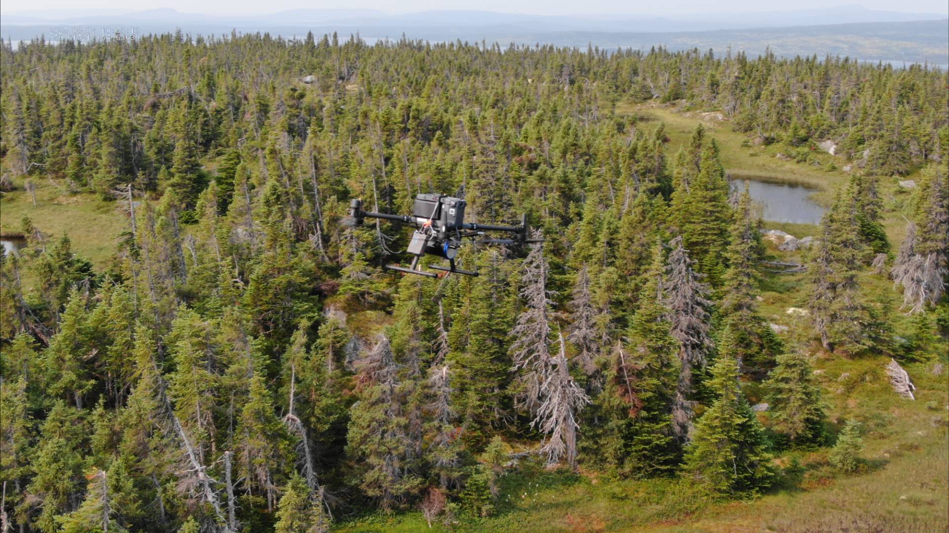
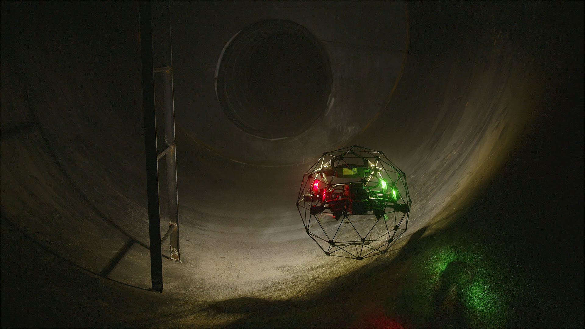
Drone technology overcomes typical challenges presented by traditional Ground Penetrating Radar surveys. Utilizing a GPR enabled drone ensures the same benefits as traditional ground-based assessments, while also providing additional operational advantages. Commercial drones are lightweight, easily transportable by car, capable of flying autonomously at low altitudes with high precision, and have the ability to reach areas that are inaccessible to ground based surveyors.
Implementing a drone based approach improves delivery speed, data reliability, and site accessibility – all while reducing operational risks and program costs.