







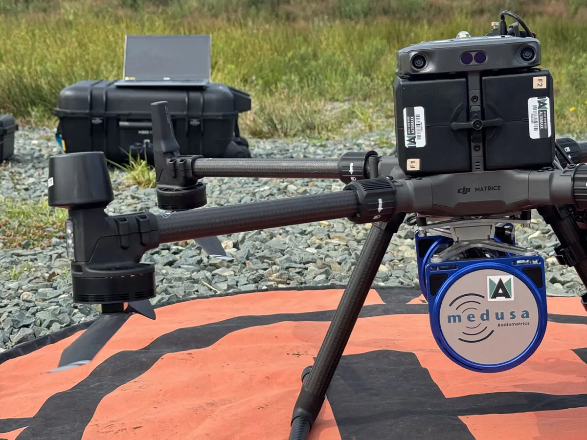
Altomaxx completed a drone-based radiometric survey for an exploration client in a remote area. Our crew flew planned survey lines with a gamma-ray spectrometer, collecting detailed data over terrain that is difficult to cover on foot, and trained the client’s team to continue the work in future seasons.
The project is featured in an article published by GeoDrilling International, written by Alexey Dobrovolskiy, CEO of SPH Engineering, whose SkyHub system was used on the survey. The article looks at where drone radiometrics fits in an exploration program and what goes into flying a reliable survey.
Read the full article
The article covers the survey method and results in more detail.
Planning an exploration program? See how Altomaxx flies drone radiometric surveys