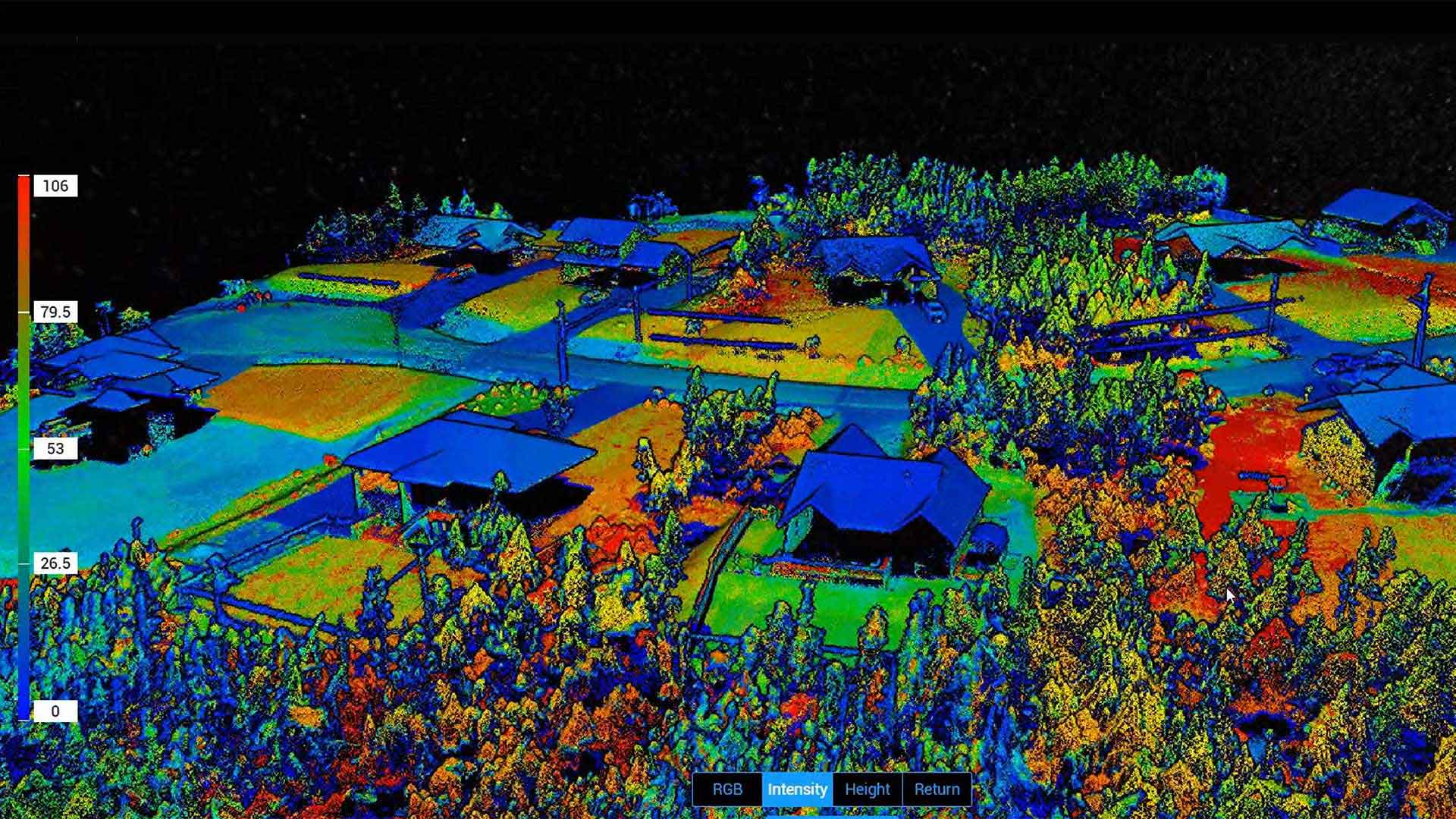
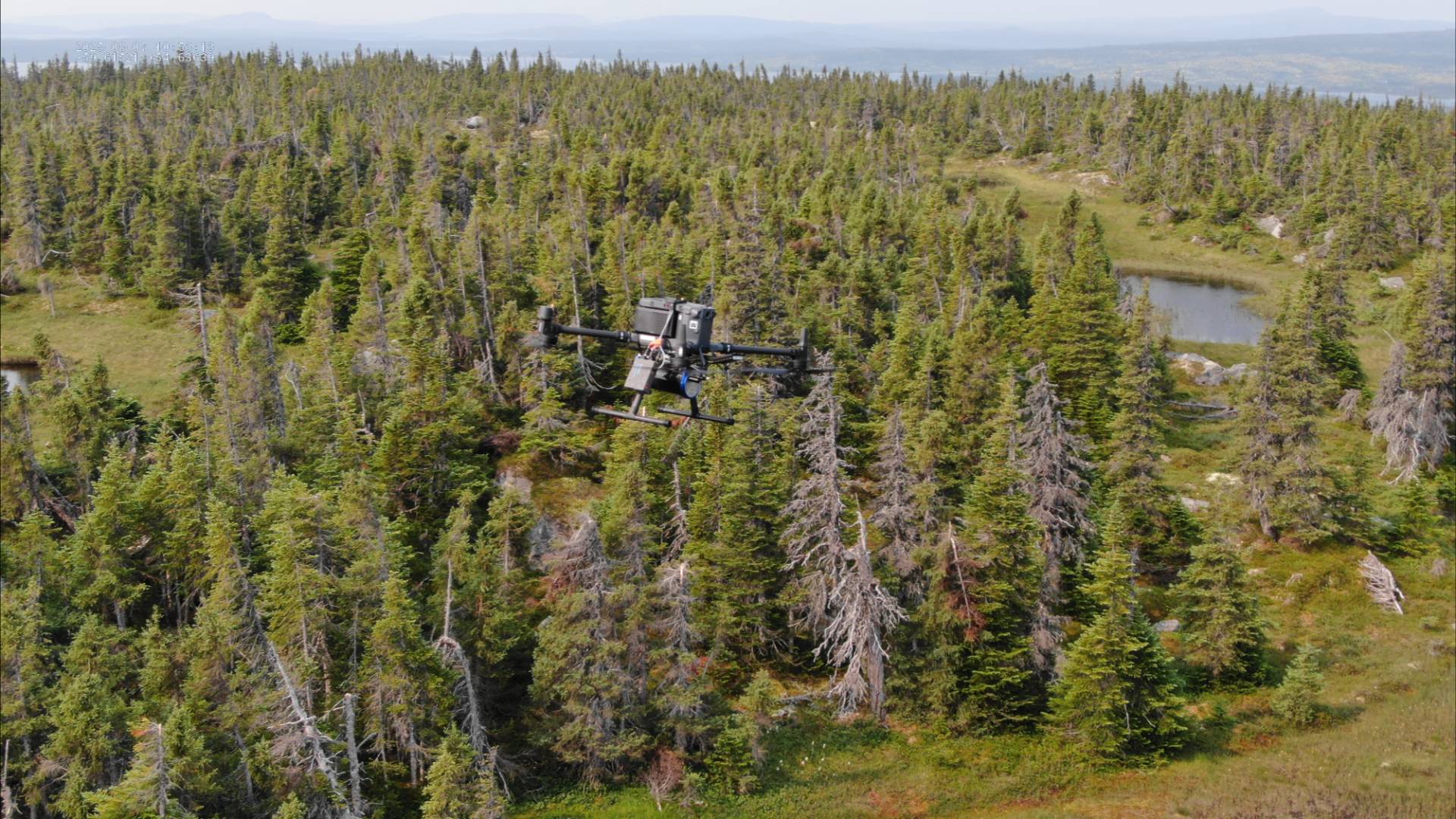
LiDAR
Our LiDAR drones use a combined LiDAR+RGB Module to create a 3D point cloud and model, and our experienced operators understand which data points to manipulate to allow you to measure distances between objects, monitor for vegetation encroachment, or monitor and measure changes in your critical infrastructure.
Perhaps one of the most powerful modeling tools on the market, LiDAR has been in use for decades as a proven technology to record precise 3D modeling data. Technological evolution has seen usage in the commercial industry increase in recent years, as LiDAR systems have become smaller and more affordable while continuing to provide increased quality and quantities of data. LiDAR refers to the process of using laser light reflection to collect massive quantities of data to create a 3D representation of a real-world object or location.
The quantity and quality of data LiDAR produce make it the best choice where there is a need to capture a large volume of data with a high amount of detail. For example, where there is a need to capture data where buildings or vegetation should be excluded since the number of pulses fired allow closer data groupings than other modeling technologies – allowing LiDAR to see around surface structures to the bare earth below.
While the large quantities and quality of data provide useful insights, LiDAR does have a high cost of implementation. Additionally, while LiDAR provides truth through height volume, each individual data point provides a level of uncertainty – meaning an inexperienced operator may select the wrong set of data points crucial to determining the size, shape, or height of a structure or asset.
That’s where we come in.