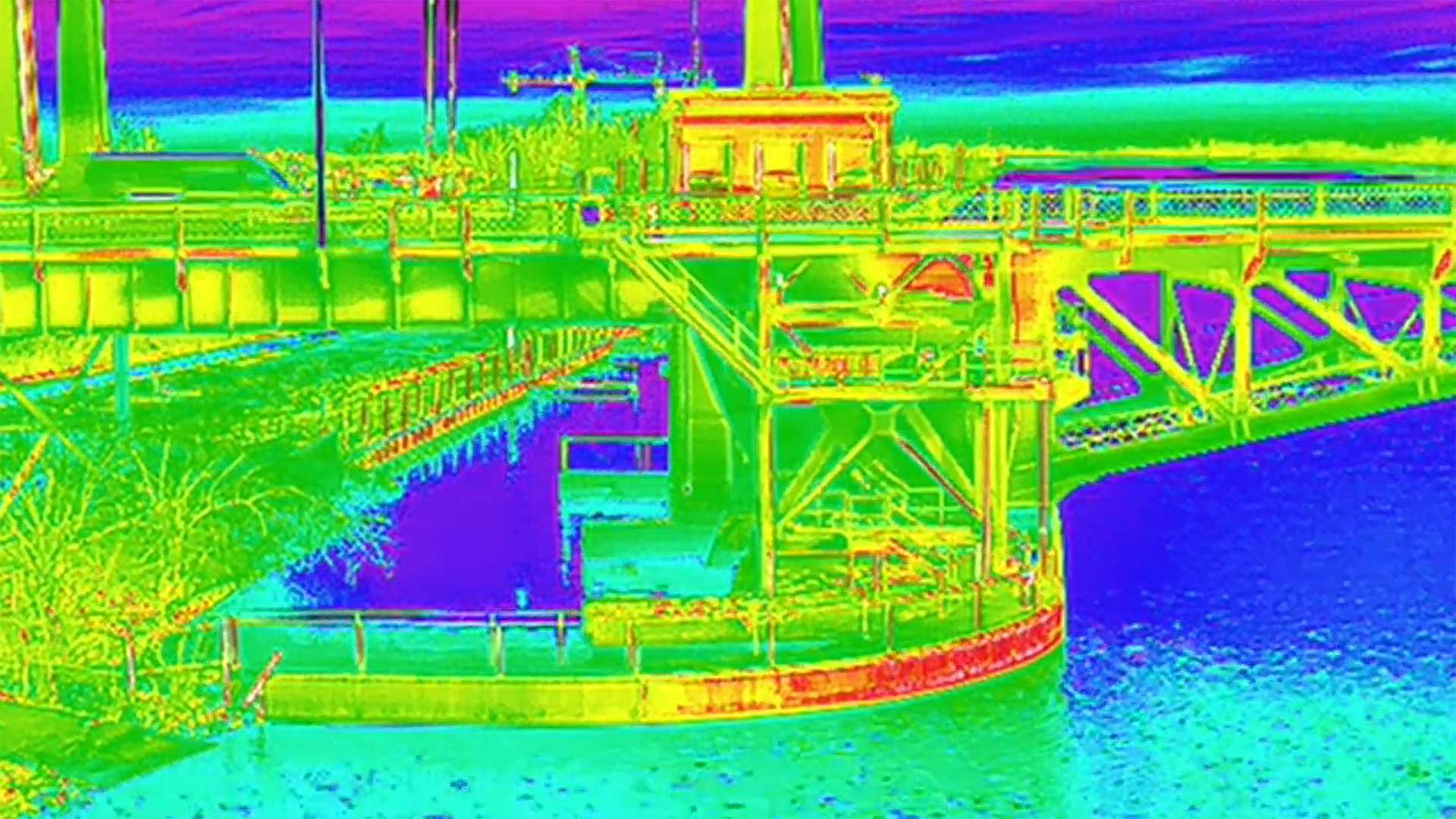
With drone bathymetry, we can safely analyze coastal and shallow areas as easily as we can open water. Bathymetric sensors translate sound into images allowing you to see into the depths of rivers, lakes, and oceans.
Bathymetry is the measurement of the depth of water in oceans, rivers, or lakes. Bathymetric maps look similar to topographic maps, but use lines to show the shape and elevation of underwater features as opposed to land. The data collected through Bathymetric survey techniques is used to monitor climate change; develop hydrodynamic models to predict tides, currents, and hazards; or study the habitat of benthic organisms to aid in conservation and monitoring.
While high-resolution methods have yet to be perfected for deep ocean bathymetry, its provides a high degree of accuracy where used in relatively shallow water. Traditionally, these methods rely on ship based sonar to collect and compile data for studies. However, this method has some limitations.
Since sonar can only measure a set area at a given time, and ships are confined to defined pathways, a ship-based solution often requires several passes on a single route in order to “stitch” data together. An additional challenge is that ships are confined to certain depths, making near shore bathymetry or bathymetry of shallow areas difficult or impossible to capture. As such, Ship based solutions (while ideal in deep water environments) can prove to be costly and difficult to implement in near-shore or shallow water environments.
In these situations, a drone-based bathymetric survey provides a significant advantage. Additionally, the drone’s precise positioning while following the survey routes, ability to fly at a constant speed and low altitudes capabilities, result in high accuracy measurements on the first pass.
As a partner and trainer of SPH Engineering, which develops the UgCS line of equipment, we have the experience and technology to complete inspections safely and quickly. Our platforms use 450Khz single-frequency or 30-50 / 200Khz dual-frequency transducers, providing a maximum depth of 100-200m.