Drone Radiometric Surveys
Radiometric surveying with drones opens up new possibilities for mineral exploration by combining high-quality gamma spectrometry with the efficiency and flexibility of UAV platforms. Using the Medusa MS-350 spectrometer, our systems can detect uranium, thorium, potassium, and cesium signatures, providing detailed geo-referenced data sets that help identify mineralization more quickly and accurately than traditional methods.
Radiometrics is the science of measuring naturally occurring gamma radiation emitted from the decay of elements such as uranium, thorium, and potassium. These measurements are a proven exploration tool, widely used in the mining industry to map lithology, identify alteration zones, and guide drilling programs. By measuring variations in gamma-ray intensity, radiometric surveys provide valuable insight into subsurface geology and potential mineral deposits.
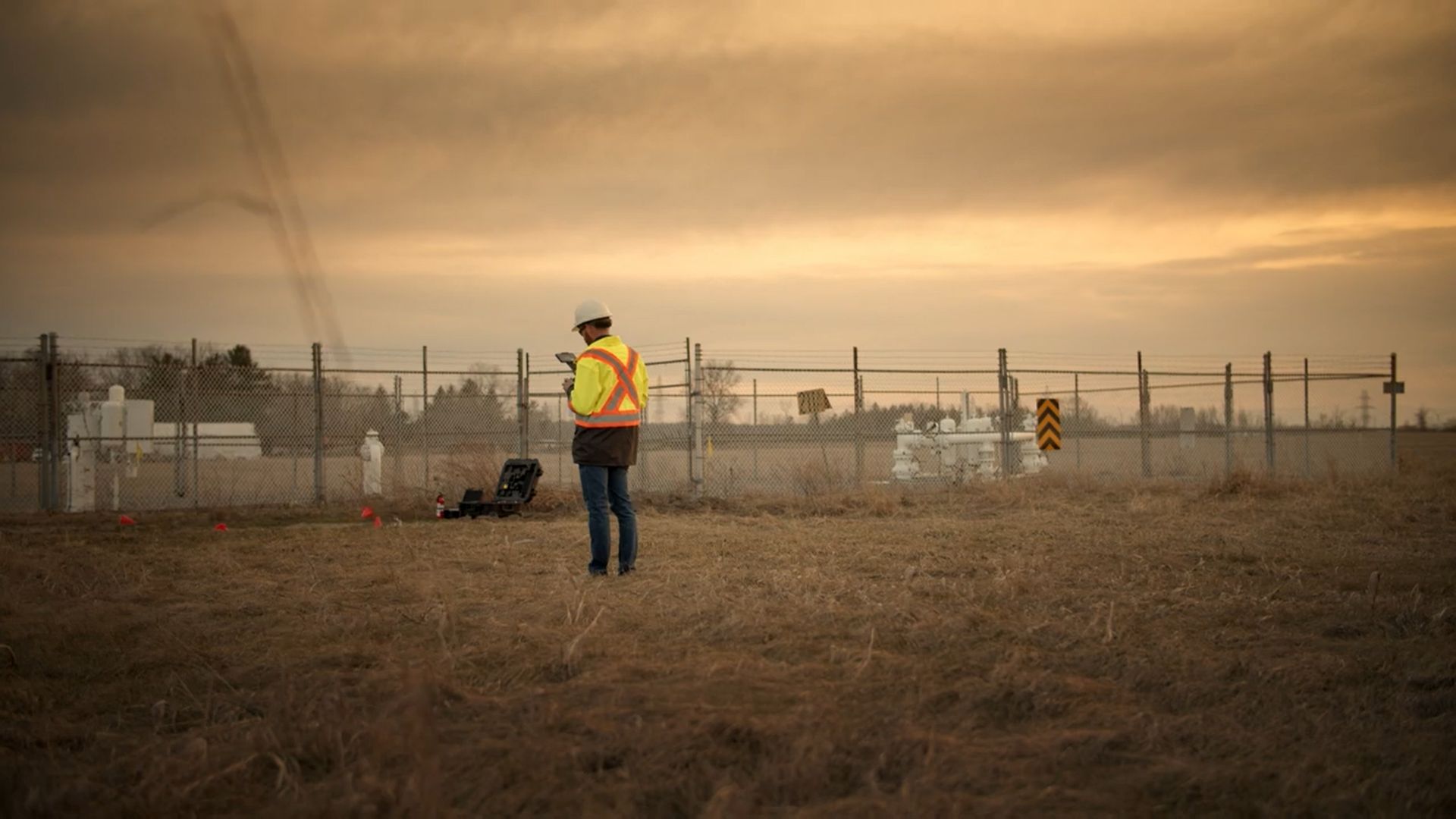
Conventional radiometric surveys are often conducted with handheld detectors, ground vehicles, or manned aircraft. Handheld and ATV-based surveys can provide good resolution, but they are time-consuming, physically demanding, and limited by terrain accessibility. Helicopter or fixed-wing surveys cover larger areas quickly, but at higher altitudes and speeds, which reduces resolution and data accuracy.
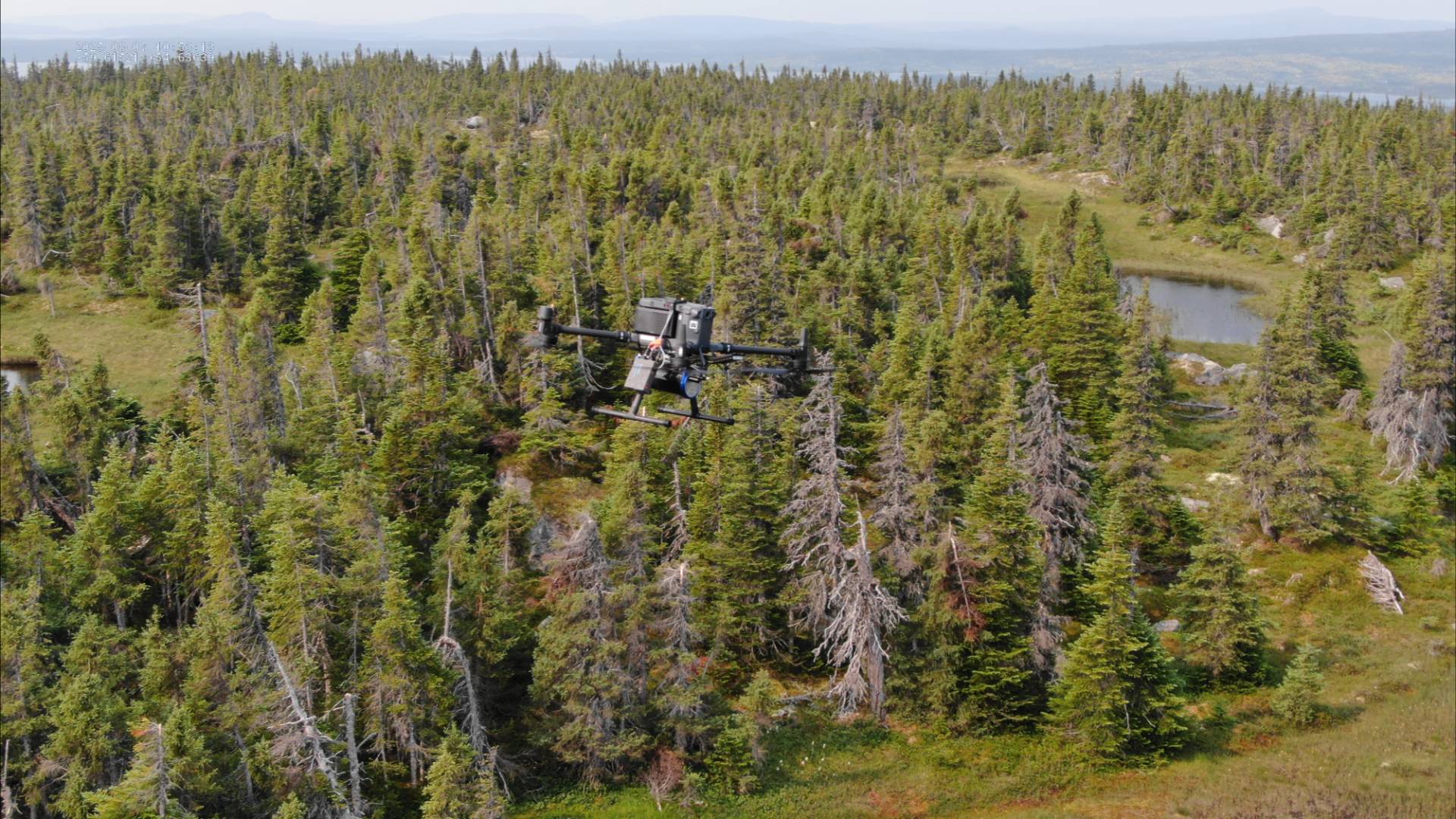
Drone-based radiometrics bridges the gap between these methods. Our platforms can fly lower and slower than manned aircraft, producing denser data sets and higher-resolution maps, while covering more ground than a person on foot. This makes drone-based radiometrics especially effective in wilderness terrain where roads and trails are limited, allowing exploration teams to collect more meaningful data in less time.
Powered by SPH Engineering’s UgCS software, which enables true terrain-following flight, supported by DEM/DSM data and laser altimeter systems. This ensures consistent survey altitude, even over uneven or vegetated terrain. Survey results can be reviewed as raw outputs or refined through Gamman software, which enhances signal processing and improves interpretation.
With this setup, we deliver faster, higher-resolution, and more accurate radiometric data than traditional approaches—helping exploration companies accelerate decision-making and reduce uncertainty in early-stage projects.